


Northness and a vision of Shetland
- Nov 20, 2014
- 8 min read
The ragged coast of Eshaness
FOR some years I’ve been fascinated by the concept of ‘northness’, a sense of place that’s defined by remoteness and natural wonders, a place of extremes as so often described in the Nordic sagas.
Awareness of this notion first came to me years ago when I made a television programme about a dog-sledding trip across Baffin Island in Arctic Canada. Even in the modern town of Iqaluit there was a sense of the frontier, being on the edge, but I never considered that I’d experience such northness in Scotland. But I hadn’t then been to Shetland…
“North moves always out of reach, receding towards the polar night, which is equally the midnight dawn in the summer sky.”
So wrote the American writer Barry Lopez. I guess everyone carries their own idea of north within them and while Lopez’s concept of northness is based on an Artic environment and all that entails; a harder place; a place of dearth; a wilderness; my own notion of northness is somewhat less hostile and less remote.
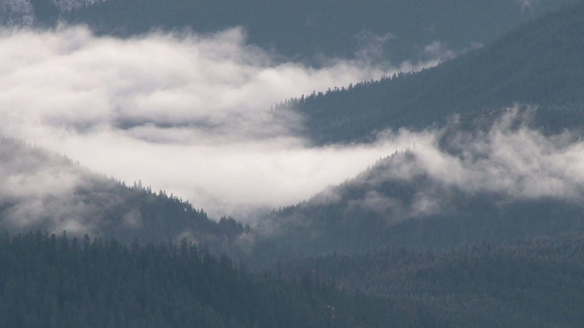
In Shetland the spirit of northness lingers everywhere – you can sense it in the scattered timber houses, you can feel it on the bare peaty moorland hills of the islands’ hinterland, you can see it in the raw, rugged, weather-scoured coastline.
Shetland is different, there’s no doubt about that, and that difference is made more acute if you arrive there after an overnight ferry journey. In one of NorthLink’s comfortable cabins you go off to bed somewhere off the coast of Aberdeenshire and wake up approaching the southern islands of this northern archipelago. It’s like arriving in a different country.
And in so many ways Shetland is exactly that. The islands didn’t become part of Scotland until 600 years ago and until then the common language was Norn, the Norse language that was used in the everyday tongue. And you can still hear the echoes of that ancient tongue - take a look at an Ordnance Survey map and read the names – Unst, Yell, Muckle Flugga, Fetlar, Papa Stour –the wonderful vocabulary of a place that is so Scottish in many ways and yet so Scandinavian in others.
Sadly, our arrival coincided with a day that was to become a record-breaker. Never, since records began, had so much rain fallen in a single day. Lerwick was a ghost town – people had too much sense to wander the streets in a monsoon – so we tucked ourselves away in our campervan in a lovely little marina-cum-campsite near Brae. I’m surprised we didn’t float away with the boats…
The weather improved overnight and next day we could begin to explore properly. We were in Shetland to walk and walk we did and for the next ten days we travelled the length and breadth of the islands marveling at the natural beauty of the place, and having our breath taken away by the wildness of the coast.
I’ve enjoyed coastal walking all over Scotland but nothing compares with this torn and ragged edge . If you bring together the elements that are born in the wide expanses of the North Atlantic, wind, tide and waves, and then obstruct their gale-driven progress with an immovable object, like the cliff-girt coast of the Shetlands, then chaos is bound to ensure. Geological chaos.
The effect of millions of years of constant pounding by the North Atlantic waves on the Middle Devonian volcanic rock of the Eshaness peninsula of mainland Shetland has created a coastline that is dramatically rugged, torn and wild. Wave-cut cliffs and massive sea stacks rise up to 150 feet in height and blowholes erupt like geysers high above the turbulent seas. It’s as though the sea is trying to claim the land as its own, breaking it down slowly and deliberately. It’s an age-old war of attrition, but take a walk along the cliff tops on a sunny day in summer and it’s as though a truce has been called. The visual drama is still there, but the dominant sensation is now one of rugged beauty, created in time by the raw power of nature.
We parked the campervan at the Eshaness lighthouse and, purely coincidentally, bumped into a BBC Adventure Show film crew. My colleague on the Show, Desiree Wilson, was being filmed rock climbing on the great crags that fall away to the sea below the Lighthouse itself. She seemed a little nervous and I could well understand why.
Gina and I left the crew to their climbing and set off north along the coast and within a few minutes she was becoming impatient with me. I just wanted to take more and more photographs. The cliff scenery was astonishing and although we were a little too far into the summer to enjoy the spectacle of nesting seabirds there were still enough fulmars, kittiwakes, gannets and puffins to provide an ornithological spectacle. But what fascinated me most of all were the names of the various rock features. This stretch of headland is called the Villians of Ure, and we passed Moo Stack, Blackhead of Breigeo, Grind of the Navir and Head of Stanshi as we made our way round The Burr towards the hamlet of Ure. This is the language of the wild.
With a ragged coastline of almost 1700 miles it’s not surprising that Shetland has more then its fair share of shipwreck stories. A good example, and the subject of a good walk, is the White Wife of Otterswick, who commemorates a wreck on the eastern shores of the island of Yell.
In 1924, a German training ship called the Bohus set sail from Sweden bound for Chile but her skipper made a navigational error and the ship found itself floundering in fog and heavy seas off the east coast of Yell. Strong winds blew the ship into the rocks near the Ness of Queyon and four sailors were drowned. The ship’s figurehead was later recovered near Otterswick and was erected near the shore as a memorial to the drowned sailors.
A fine coastal walk visits the memorial, before visiting a lovely low lying headland where, on a summer’s day, it is hard to visualise the harsh conditions which led to such a disaster. As on mainland Shetland, the east coast of Yell is considerably less wild and more low-lying than the west coast where the cliffs tend to be higher and the coastline more broken. Nevertheless, the headland of Ness of Queyon and Salt Wick is very rocky and gets the full brunt of the north-eastern swells. On a windy day it can be very dramatic.
St Ninian is credited with bringing Christianity to Scotland long before Columba and he was, for a time, the Abbott of Lindisfarne. A lovely little island, just off the shore of Shetland’s south Mainland, is named after him, although it’s unlikely Ninian ever travelled this far north. The ruins of a 12th century church are to be found on the island but what makes this place so special is the double curve of cockleshell sand that links the island to the mainland of Shetland.
Technically this feature is known as a tombolo. Tides and currents sweep around the island and meet on either side of this golden strand, constantly washing sand up from the seabed. Apparently this is the only tombolo in the British Isles that has been formed by sand. Other tombolos are shingle, or pebbles, although it’s likely that the St Ninian’s tombolo has its origins in shingle.

The tombolo at St Ninian's Isle
A car park and picnic area below the hamlet of Bigton offers access to the ‘sand road’ and once through some marram grass dunes you can enjoy the walk across to the island with the unusual aspect of waves lapping on both your left and your right. Arctic terns are very territorial hereabouts and will swoop down very close to you, screeching and sniping at you for invading their territory.
Once across the tombolo a sandy path climbs up onto the island itself. The remains of the old church lie to your right but leave that exploration to the end of the walk. Head south around St Ninian’s Bay and enjoy the prospect of the island’s ragged coast, culminating in the cliff girt islands of Inns Holm and Coar Holm. Although the cliffs are sheer and rugged the sheltered waters tend to be calmer here and you may see, or hear, a raft of eider ducks crooning gently or seals basking on the low lying rock ledges.
Follow the coastline west, crossing a stile over a large wall, before turning north with views across a broad expanse of ocean towards the distant outline of Foula. Pass Longa Berg and the seabird haunted island of Hich Holm, before negotiating your way round the big cove of Selchie Geo. Beyond, a stone built wind-break follow the cliffs out towards the long nose of The Neapack and its trig point. A narrow grassy ridge leads on towards the bare rock of Loose Head.
From here the views north take in the area of Walls and Papa Stour. To the west lies Foula and away to the south, beyond the big lump of Fitful Head, lie the distant shores of Fair Isle, midway between Orkney and Shetland. And dominating everything the continual, elemental cries of wheeling seabirds.
Virtually every cliff had its own population of young fulmars – downy, fluffy lumps with two eyes and a gaping, hungry beak. Cooried down, each on its own ledge, the chicks wait patiently, and sometimes not so patiently, for their parents to return to the ledges and regurgitate some food for them.
Natural history tends to dominate most walks on Shetland but there is human history here too! Plenty of it. It’s thought that man has used this island since the earliest mists of time. The ruins you come across as you make your way back towards the tombolo are the remains of a 12th century church but it’s believed the site was previously used by Norse settlers and before that as a pre-Christian burial site dating to the 3rd century. During excavations in the 1950’s a local schoolboy found a larch box containing 28 items of Pictish silver ornaments. They are all on display in the Royal Museum in Edinburgh, a long way from their place of discovery. How much better if they were displayed to the public in a museum in Shetland.
The walk I enjoyed most was to the very north of the most northerly island. I immediately fell in love with Unst and its distinct northness. Here lies the most northerly RSPB reserve in the UK. Here also lies the most northerly lumps of land in the UK, and here you’ll find the most northerly brewery in the UK – the Valhalla Brewery, and their White Wife pale ale is wonderful!

Gannetries at Hermaness
On a bright and windy afternoon we risked the attacks of hundreds of bonxies (great skuas) and made our way along the duckboards of the wonderfully named Burn of Winnaswarta Dale to the Hermaness coast where we sat and gazed through binoculars at thousands of beautiful, noisy gannets. Beyond, on its tiny rock island, stood the squat lighthouse buildings of Muckle Flugga and the tiny island of Out Stack, the most northerly stretch of land in the UK. We then climbed the most northerly hill in Britain – Hermaness Hill, all of 200m in height but with a sense of spaciousness, the likes of which you’ll never experience on any Munro summit.
I’m surprised by how few hillwalkers I know have been to Shetland. I would urge them to go there. The coastal walking is phenomenal, the birdlife is rich and varied and everyone we met was welcoming. We took our campervan and stayed in a few camp-sites and had an equal number of wild camps in a variety of out-of-the-way niches, tucked away and well out of sight.
But best of all is the opportunity to indulge yourself in northness. To enjoy the sharp clarity of the light, free of the residues and dust that thicken air at lower latitudes; to sit below a lonely headland, out of the wind, captivated by the comings and goings of otters; to envy the weightless flight of fulmars on the wind; to appreciate the handsome Concorde-like lines of a gannet in flight; to marvel at delicate Arctic terns diving into the shallows for prey; and for a moment in your life, to take the opportunity of standing close to the edge of a high cliff and witness the powerful effect of the wind, winds that can be gentle and caressing, or wildly destructive, winds that are continuing to shape and evolve these northern islands, this place of extremes. It’s a great reminder, particularly to a hill bum like me, that you don’t have to stand on a mountain-top to experience wildness in the raw.
This article first appeared in the Scots Magazine

The ferry from Unst arrives at Yell


Comments